Issues disappear inside hundreds of photos
AI-assisted analysis helps flag potential irregularities. Each result stays linked to its image and location for expert review.
Construction Intelligence Platform
Construct connects 3D, BIM, GIS, photography and 360° panoramas in one digital project context. Teams can move from the overall view to a specific defect, image or document.
Discuss your project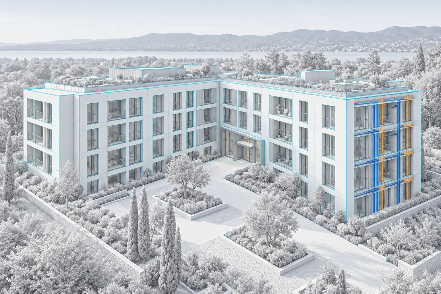 Concept visualization
PROBLEMS AND ANSWERS
AI-assisted analysis helps flag potential irregularities. Each result stays linked to its image and location for expert review.
Photogrammetry models, drone imagery and 360° panoramas support remote review and better planning before a site visit.
BIM, GIS, models, photos, documents and observations come together in one environment.
Dated photographs, panoramas and models create clear review material for the investor, lender or inspector assessing progress.
HOW THE PRODUCT WORKS
3D and BIM models, GIS maps, photos, documents and 360° panoramas.
Compare data from different dates and show exactly where change occurred.
Review photographic material, organize observations and verify them in spatial context.
Build an interactive narrative for internal meetings and investor updates.
USE CASES
 Concept visualization
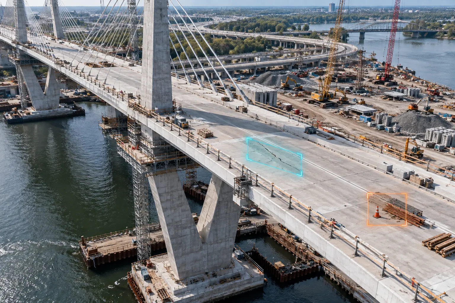
Review large image sets faster and create a clear observation list for expert verification.
 Concept visualization
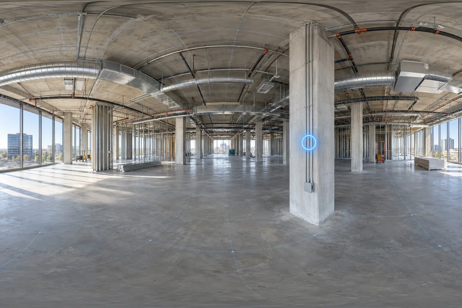
Review a place and its surroundings before entering the asset or sending a team.
 Concept visualization
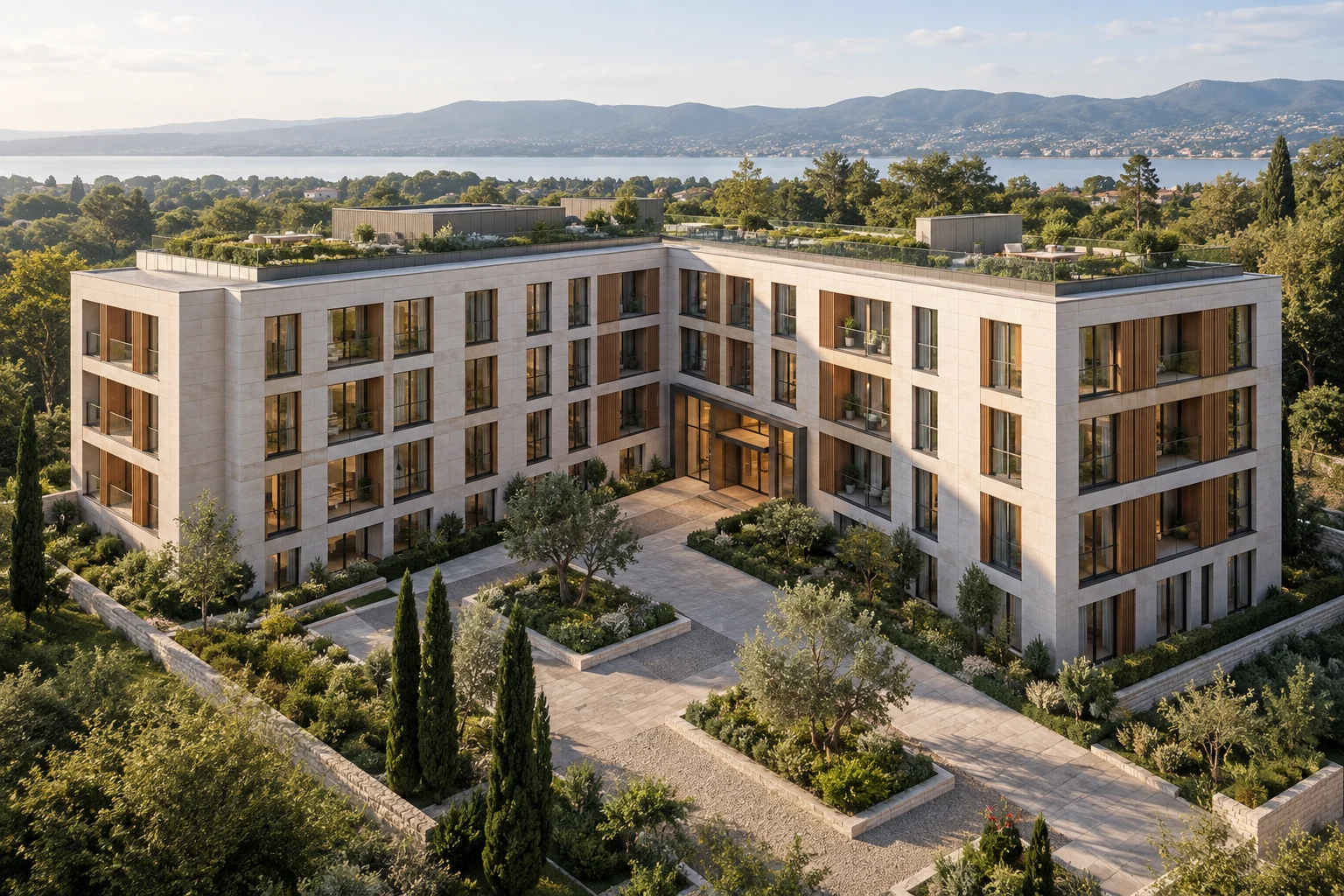
Compare materials from successive dates and prepare organized evidence supporting progress assessment by an investor, lender or inspector.
 Concept visualization
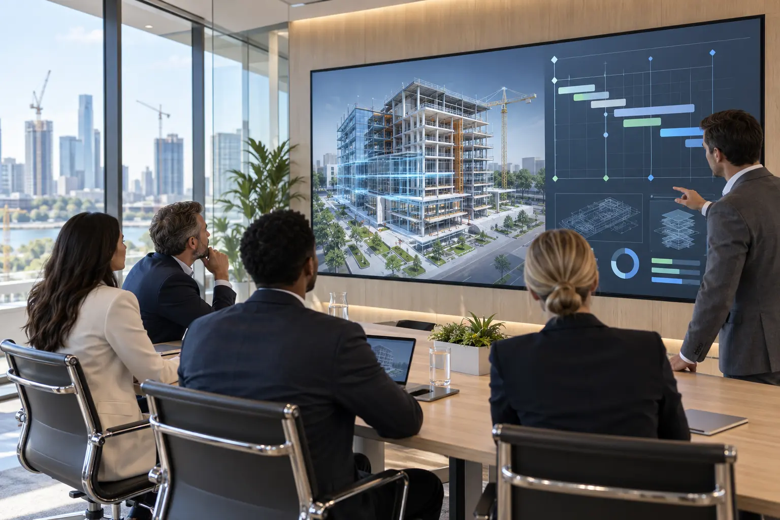
Present progress, observation locations and key decisions interactively instead of relying on static slides.
OTHER PRODUCTS
LET’S TALK
Tell us about your project, process or product. We will help choose the right form of visualization.